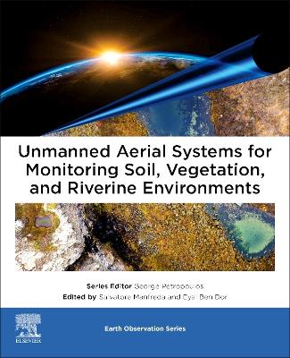
Unmanned Aerial Systems for Monitoring Soil, Vegetation, and Riverine Environments
 -10%
portes grátis
Unmanned Aerial Systems for Monitoring Soil, Vegetation, and Riverine Environments
Manfreda, Salvatore; Eyal, Ben Dor
Elsevier - Health Sciences Division
01/2023
346
Mole
Inglês
9780323852838
15 a 20 dias
1000
Descrição não disponível.
Introduction
Section 1 - General introduction on the use of UAS for environmental monitoring
* Remote sensing of the environment using unmanned aerial systems
* Protocols for UAS-based observation
* Using structure-from-motion workflows for 3D mapping and remote sensing
Section 2 - Vegetation monitoring
* Vegetation mapping and monitoring by unmanned aerial systems (UAS)-current state and perspectives
* Monitoring agricultural ecosystems
Section 3 - Soil Mapping
* Mapping soil properties for unmanned aerial system?based environmental monitoring
* Soil moisture monitoring using unmanned aerial system
Section 4 - River Monitoring
* Geometric correction and stabilization of images collected by UASs in river monitoring
* River flow monitoring with unmanned aerial system
* Monitoring river channel dynamics by Unmanned Aerial Systems
Section 5 - Tools and datasets
* Tools and datasets for unmanned aerial system applications
Este título pertence ao(s) assunto(s) indicados(s). Para ver outros títulos clique no assunto desejado.
Sensor and UAS platforms; Protocols; Vegetation monitoring; Water assessment; Soil Moisture mapping; UAS Operation
Introduction
Section 1 - General introduction on the use of UAS for environmental monitoring
* Remote sensing of the environment using unmanned aerial systems
* Protocols for UAS-based observation
* Using structure-from-motion workflows for 3D mapping and remote sensing
Section 2 - Vegetation monitoring
* Vegetation mapping and monitoring by unmanned aerial systems (UAS)-current state and perspectives
* Monitoring agricultural ecosystems
Section 3 - Soil Mapping
* Mapping soil properties for unmanned aerial system?based environmental monitoring
* Soil moisture monitoring using unmanned aerial system
Section 4 - River Monitoring
* Geometric correction and stabilization of images collected by UASs in river monitoring
* River flow monitoring with unmanned aerial system
* Monitoring river channel dynamics by Unmanned Aerial Systems
Section 5 - Tools and datasets
* Tools and datasets for unmanned aerial system applications
Section 1 - General introduction on the use of UAS for environmental monitoring
* Remote sensing of the environment using unmanned aerial systems
* Protocols for UAS-based observation
* Using structure-from-motion workflows for 3D mapping and remote sensing
Section 2 - Vegetation monitoring
* Vegetation mapping and monitoring by unmanned aerial systems (UAS)-current state and perspectives
* Monitoring agricultural ecosystems
Section 3 - Soil Mapping
* Mapping soil properties for unmanned aerial system?based environmental monitoring
* Soil moisture monitoring using unmanned aerial system
Section 4 - River Monitoring
* Geometric correction and stabilization of images collected by UASs in river monitoring
* River flow monitoring with unmanned aerial system
* Monitoring river channel dynamics by Unmanned Aerial Systems
Section 5 - Tools and datasets
* Tools and datasets for unmanned aerial system applications
Este título pertence ao(s) assunto(s) indicados(s). Para ver outros títulos clique no assunto desejado.


